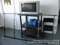
Hardware and sources
|
||||||||||||||||||||||||||||||||||||||||||||||||||||||||||||||||||||||||||||||||
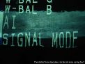
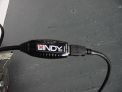
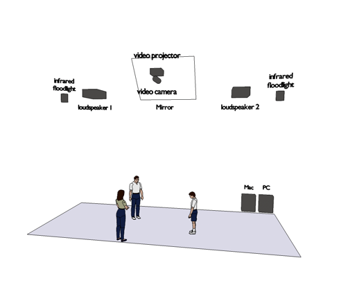
Camera and infrared lightsWe are using a Sony with Nightvision. Infrared lightsPossible sources: |
||||||||||||||||||||||||||||||||||||||||||||||||||||||||||||||||||||||||||||||||
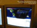
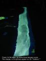
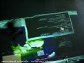
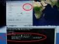
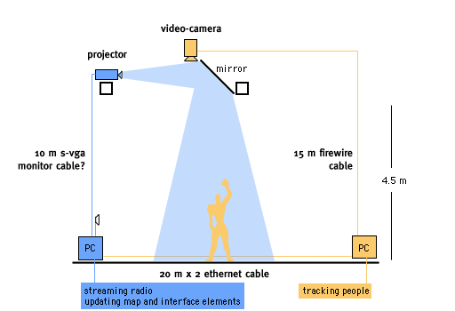
Radiomap is made with Macromedia’s “Director MX 2004” and runs on two computers: a Mac that does the video-tracking - and a PC that updates the map and plays the streaming-radio. It requires a reasonably fast Internet connection (DSL), an appropriate video projector and a video camera both mounted on the ceiling to achieve a large projection/tracking area of 8x4 Meters (with the help of a large mirror). The tracking of participants itself is performed by the Director application using the “trackthemcolors” bitmap tracking plugin (Xtra). Here, changes in successive video frames of the ceiling camera are compared to each other and converted into a persons’ position and direction of movement. These are indicated by an augmented “Point of Interest” (PoI) and a augmented line & ring element that is projected onto the map into the person’s direction of movement. If several participants are detected, their mean distance to each other is calculated and the single PoI becomes shared by all of them. The PoIs’ position is compared to the location of 200 radio stations in the applications database. As the PoI approaches a radio location its audio stream is initiated from the server and becomes audible over two speakers. Its volume increases upon decreasing distance. Proximity to stations and their names are indicated by text and opacity changes of the PoI. |
||||||||||||||||||||||||||||||||||||||||||||||||||||||||||||||||||||||||||||||||
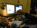
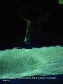
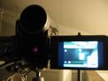
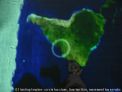
Video tracking
|
||||||||||||||||||||||||||||||||||||||||||||||||||||||||||||||||||||||||||||||||
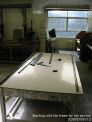
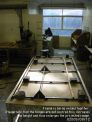
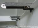
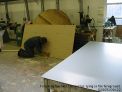
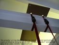
Studio @ Psalter LanePreparing the space: The mirror 1220x2440 mm will be fastened to the beam. 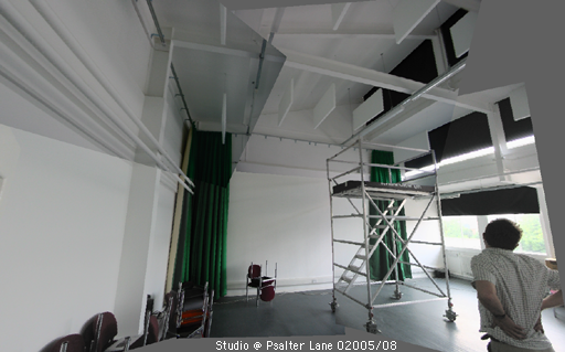
|
||||||||||||||||||||||||||||||||||||||||||||||||||||||||||||||||||||||||||||||||
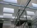
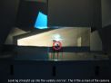
Mirror for floor projection
|
||||||||||||||||||||||||||||||||||||||||||||||||||||||||||||||||||||||||||||||||
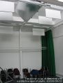
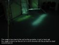
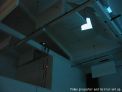
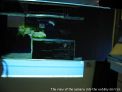
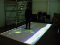
Floor Projection
|
||||||||||||||||||||||||||||||||||||||||||||||||||||||||||||||||||||||||||||||||
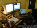
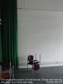
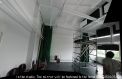
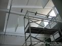
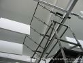
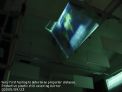
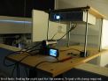
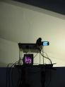
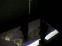
Projection & tracking rig
|
||||||||||||||||||||||||||||||||||||||||||||||||||||||||||||||||||||||||||||||||
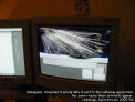
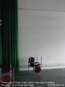
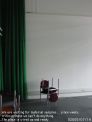
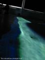
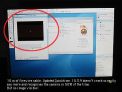
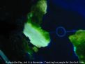
Floor tracking
|
||||||||||||||||||||||||||||||||||||||||||||||||||||||||||||||||||||||||||||||||
|
More images at Radiomap environment |
||||||||||||||||||||||||||||||||||||||||||||||||||||||||||||||||||||||||||||||||
| last update: 1/7/02008 0:53 About Contact Disclaimer Glossary Index |
||||||||||||||||||||||||||||||||||||||||||||||||||||||||||||||||||||||||||||||||